Canada’s Instrumentation Leader Since 1946.

Canada’s Instrumentation Leader Since 1946.
 Hoskin Environmental
Sampling and monitoring instruments for air, water, weather and soil for the environmental, agricultural, mining and research markets.

 Hoskin Geotechnical
Materials and Product testing for soil, asphalt, petroleum, concrete, mining, cement, and research industries.

 Hoskin Instrumentation
Sensors, transducers and instrumentation for industry, manufacturing, research and development and factory automation.
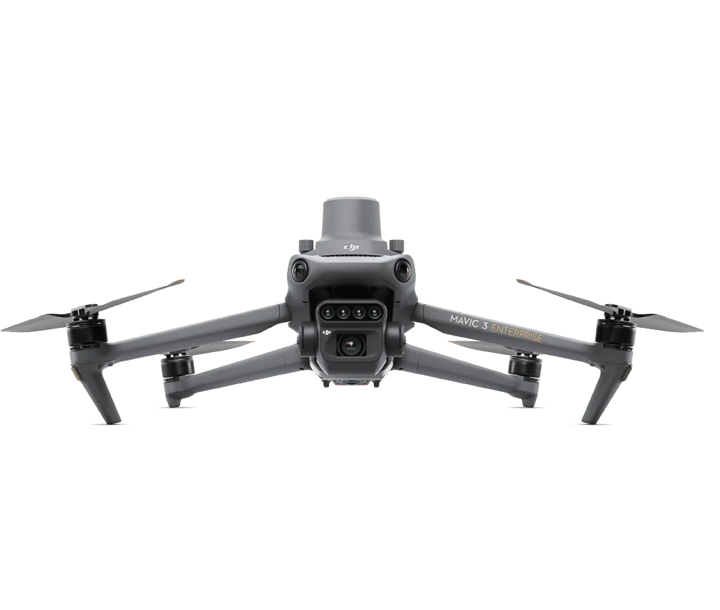
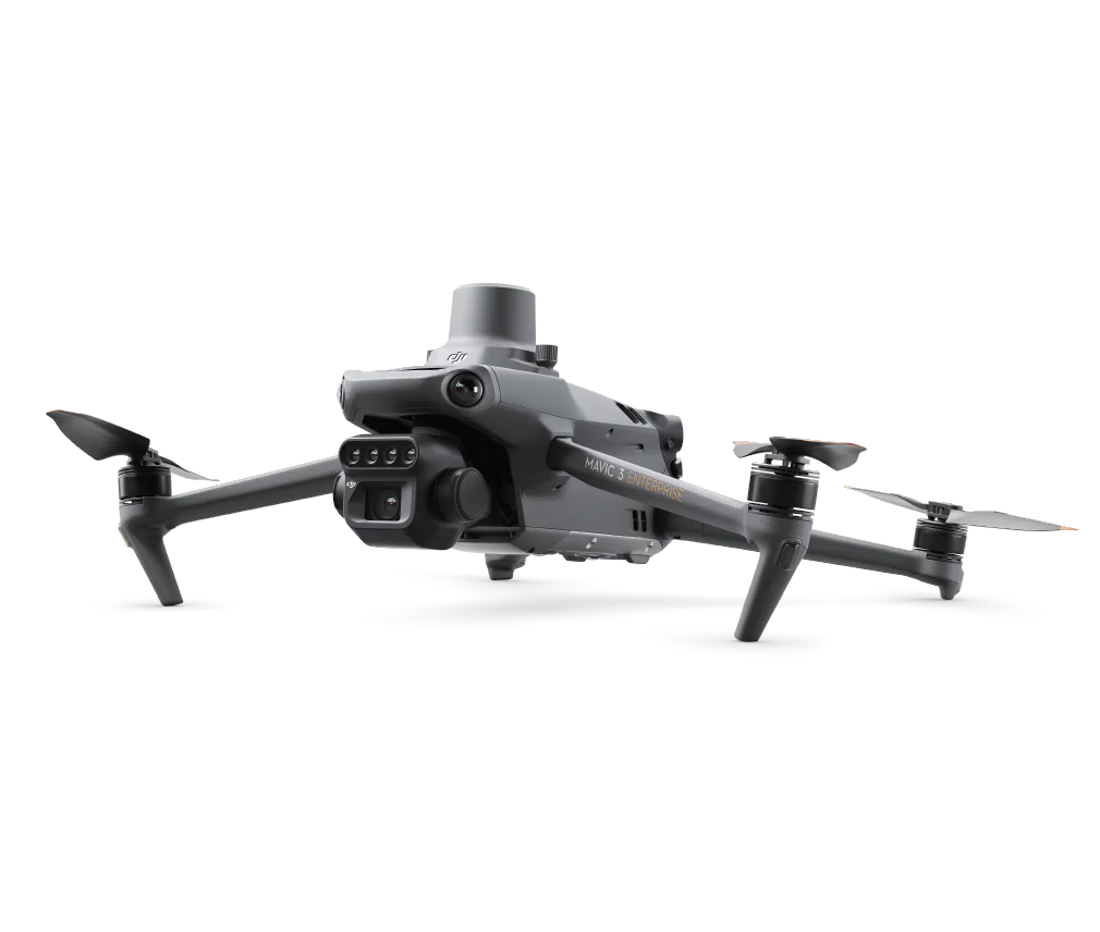
The Mavic 3 Multispectral is a compact drone built for agriculture monitoring, natural resource surveying, highly precise surveying and more applications. Featuring up to 43 minutes of flight-time, the Mavic 3 M is portable yet powerful, exceeding data quality requirements for professional users.
 Contact us for details
The Mavic 3 Multispectral is a compact drone built for agriculture monitoring, natural resource surveying, highly precise surveying and more applications. Featuring up to 43 minutes of flight-time, the Mavic 3 M is portable yet powerful, exceeding data quality requirements for professional users.
| Flight Time (max) | Multispectral Camera | RGB camera | RTK positioning |
| 43 Minutes | 4 × 5MPG/R/RE/NIR | 20 MP 4/3 CMOS, Mechanical shutter |
CM-level |
| 4/2 CMOS | 1/2000s | 0.7s |
| 20 MP Image Sensor | Fastest Mechanical Shutter Speed | High-speed burst when RGB camera is used |
To enhance the accuracy of NDVI results and consistency of data acquired over time, the Mavic 3 Multispectral captures solar irradiance and records it in an image file. During 2D reconstruction, this enhances image data with light compensation.
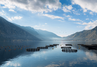
The Mavic 3M can also be used in environment and natural resource surveys, such as water enrichment monitoring, forest distribution surveys, urban green area surveys, and more.
O3 TransmissionIntegrates two transmitting signals and four receiving signals to support smooth and stable 5km transmission distances. |
Omnidirectional Obstacle AvoidanceThe drone features multiple wide-FOV vision sensors for accurate omnidirectional obstacle avoidance. The terrain-follow aerial surveying can be easily performed in steep-slope landscapes. |


Copyright - 2026 - Hoskin Scientific

