Canada’s Instrumentation Leader Since 1946.

Canada’s Instrumentation Leader Since 1946.
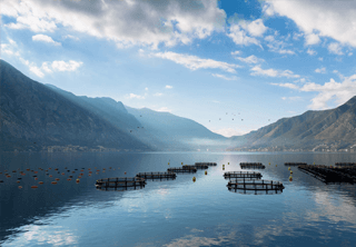
 Hoskin Environmental
Sampling and monitoring instruments for air, water, weather and soil for the environmental, agricultural, mining and research markets.
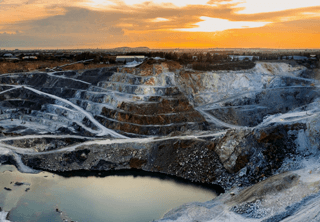
 Hoskin Geotechnical
Materials and Product testing for soil, asphalt, petroleum, concrete, mining, cement, and research industries.

 Hoskin Instrumentation
Sensors, transducers and instrumentation for industry, manufacturing, research and development and factory automation.
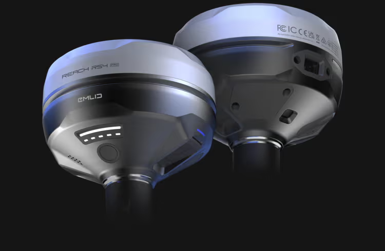
The Reach RS4 Pro delivers centimeter-level accuracy, even in challenging environments like forests or urban canyons. With support for every GNSS constellation and signal frequency, including the L5 and L6 bands, resistant to multipath and interference, the Reach RS4 Pro locks onto 40+ satellites simultaneously using 672 channels.
 Contact us for details
The Reach RS4 Pro delivers centimeter-level accuracy, even in challenging environments like forests or urban canyons. With support for every GNSS constellation and signal frequency, including the L5 and L6 bands, resistant to multipath and interference, the Reach RS4 Pro locks onto 40+ satellites simultaneously using 672 channels.
The Reach RS4 Pro is powered by Emlid Flow—a complete field and cloud solution for iOS and Android. From initial setup to final verification, Emlid Flow keeps your entire team connected, your data synchronized, and your project on track.
Stake out faster with AR guidance
With the RS4 Pro, stakeout becomes visual. Rather than simply following coordinates on a map, your designs are directly overlaid on the real world, clearly showing where to place stakes.
Crews can work faster with AR guidance, even on complex construction sites and road works.
Measure from images
Even if you can’t put the pole there, you can still measure it with your RS4 Pro. Use the cameras to measure building facades, areas behind fences, across busy roads and any other inaccessible points.
Save time setting up a total station and avoid hazardous areas.
Across water / Behind fences Over traffic / Above pits / Past hedges / Around machinery
The custom-designed quick release mount ensures the receiver is locked firmly to your survey pole, eliminating backlash. Even the smallest wobble can affect tilt-based measurements at steeper angles. This mount solves the issue with a fast and rock-solid connection for reliable data accuracy.
The advanced tilt compensation stays accurate even at steep angles. For example, at a 30° tilt, the Reach RS4 Pro still delivers 18 mm precision.1 Initialization takes just a few quick movements and remains stable throughout the job—no manual recalibration needed.
Keep your team in sync
Augmented Reality and Operational Awareness
Real-Time Terrain Follow
Matrice 400 maintains a consistent altitude relative to the ground in any horizontal direction during both manual and automated flights. This improves subject consistency on-screen during search and rescue missions and ensures uniform ground sampling distance (GSD) for high-accuracy mapping.
Ship-Based Takeoff and Landing
Designed for offshore use, the drone can safely take off from stationary ships and land on moving vessels by recognizing deck patterns, making it ideal for maritime patrols and wind turbine inspections.
Intelligent Flight Modes
Cruise mode keeps the drone flying steadily without constant control. FlyTo mode auto-adjusts path and speed to reach a set point with little input. Smart Track precisely follows and reacquires moving targets. Point of Interest mode orbits a target for ongoing observation or 3D modelling.


Copyright - 2026 - Hoskin Scientific

