Canada’s Instrumentation Leader Since 1946.

Canada’s Instrumentation Leader Since 1946.
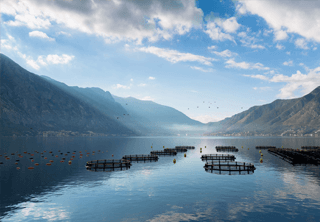
 Hoskin Environmental
Sampling and monitoring instruments for air, water, weather and soil for the environmental, agricultural, mining and research markets.
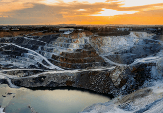
 Hoskin Geotechnical
Materials and Product testing for soil, asphalt, petroleum, concrete, mining, cement, and research industries.

 Hoskin Instrumentation
Sensors, transducers and instrumentation for industry, manufacturing, research and development and factory automation.
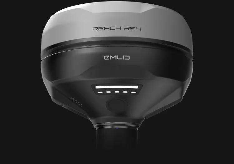
The Reach RS4 can track all available satellite constellations and frequencies, including the lower L5 and L6 bands, which are more resistant to multipath and interference. With 672 channels, it can track 40+ satellites at a time.
 Contact us for details
The Reach RS4 can track all available satellite constellations and frequencies, including the lower L5 and L6 bands, which are more resistant to multipath and interference. With 672 channels, it can track 40+ satellites at a time. These features ensure reliable performance and centimeter-level precision.
The Reach RS4 comes with Emlid Flow, a comprehensive mobile and cloud solution compatible with both iOS and Android. It keeps your team aligned and your projects on track while supporting various site tasks.
NTRIP
Work in RTK with VRS or a single baseline CORS network in RTCM3 format. You can also connect another GNSS receiver as an NTRIP base using Emlid NTRIP Caster
This mount is specifically designed for tilt compensation, eliminating backlash and securing the receiver firmly to the survey pole. Even a small amount of wobble between the device and the pole can compromise the accuracy when tilting. The quick-release system provides a fast and reliable connection for maximum precision.
The Reach RS4 delivers accurate results even at high tilt angles — for example, a 30° tilt still achieves 18 mm precision.1 The compensation mechanism activates with just a few moves and remains stable throughout the survey, saving time and avoiding the need for recalibration.
Keep your team in sync
Topographic surveys – gather terrain and elevation data accurately


Copyright - 2026 - Hoskin Scientific

