Canada’s Instrumentation Leader Since 1946.


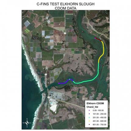
C-FINS™ integrates the C3™ Submersible Fluorometer’s digital output with GPS to enable easy visual mapping of data. A simple software module enables C-FINS™ and ArcGIS® to work together allowing for real-time mapping of fluorescence, temperature, depth, and turbidity. The ability to capture and integrate these data reliably using the C-FINS™ package is a powerful tool […]
Copyright - 2026 - Hoskin Scientific